
The Problem with Field Photos
Traffic engineers generally take a lot of field photos. During a field visit, I may take photos from several approaches to an intersection, along a corridor, or at specific locations. I may need to document a sidewalk gap, driveway condition, crossing issue, sight-distance concern, or another field condition.
In the field, each photo makes sense. A few days later, after the photos are sitting in a project folder, the context begins to fade. I may need to open a photo, compare it with Google Maps or Street View, and remember which approach I was standing on. Then I have to return to the folder and find the right image for a report or memo.
None of that is difficult, but it adds friction.
That is why I created PhotoMapper.
How PhotoMapper Works
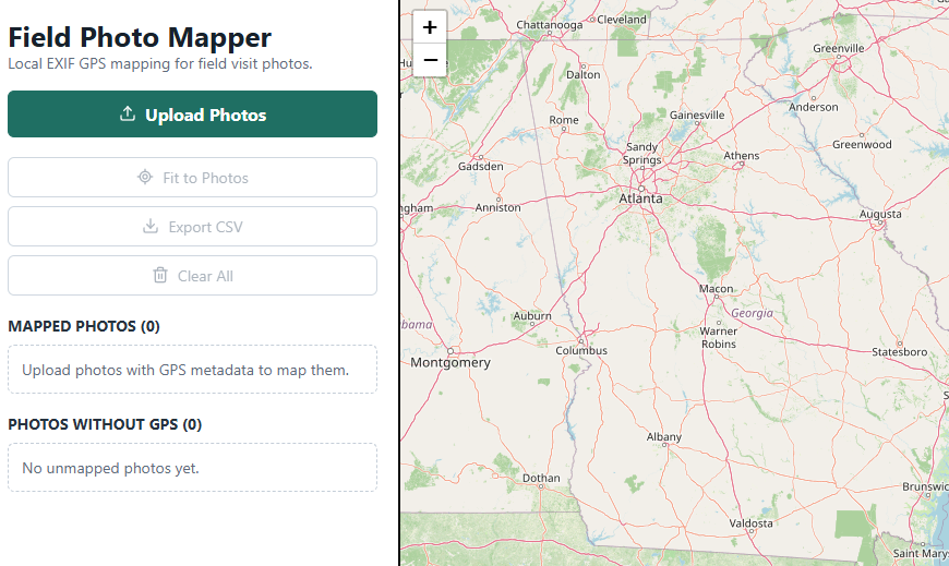
The idea is simple. Upload geotagged field photos after turning on location services on the phone. The app reads the GPS metadata and places each photo on a map at the location where it was taken.
Users can click a thumbnail marker to preview the photo and enlarge it if needed. The app processes everything locally on the user’s device. It does not upload or store photos on a server.
PhotoMapper supports several image formats, although JPG files process the fastest. It also provides a lightweight CSV export containing file names and coordinates.
A Small Tool for a Practical Need
This is not a major software platform. It is a small tool designed to solve a specific problem: too many field photos, too little spatial organization, and too much time spent remembering where each image came from.
I used AI to build PhotoMapper much faster than I could have done on my own. The idea came from a real professional workflow and a recurring need. It is now a working tool that anyone can use to save time.
Building tools like this has become much easier. I plan to develop and share more small professional tools over time. Each one should do one useful thing and reduce unnecessary effort. Perhaps they will eventually become part of a broader professional toolbox. We will see where it goes.
Open Source and Collaboration
The GitHub repo is public for anyone who wants to look at the source code, fork it, improve it, or adapt it.
Feedback and collaboration are welcome.
Leave a Reply